Hi folks, Byron here with a big announcement: We launched subscriptions for Tripline on Saturday, January 10, 2026. You’ll now need a subscription to create new trips and access many of our key features. This is a major change to the platform so I’m going to walk you through the details.
A bit of background
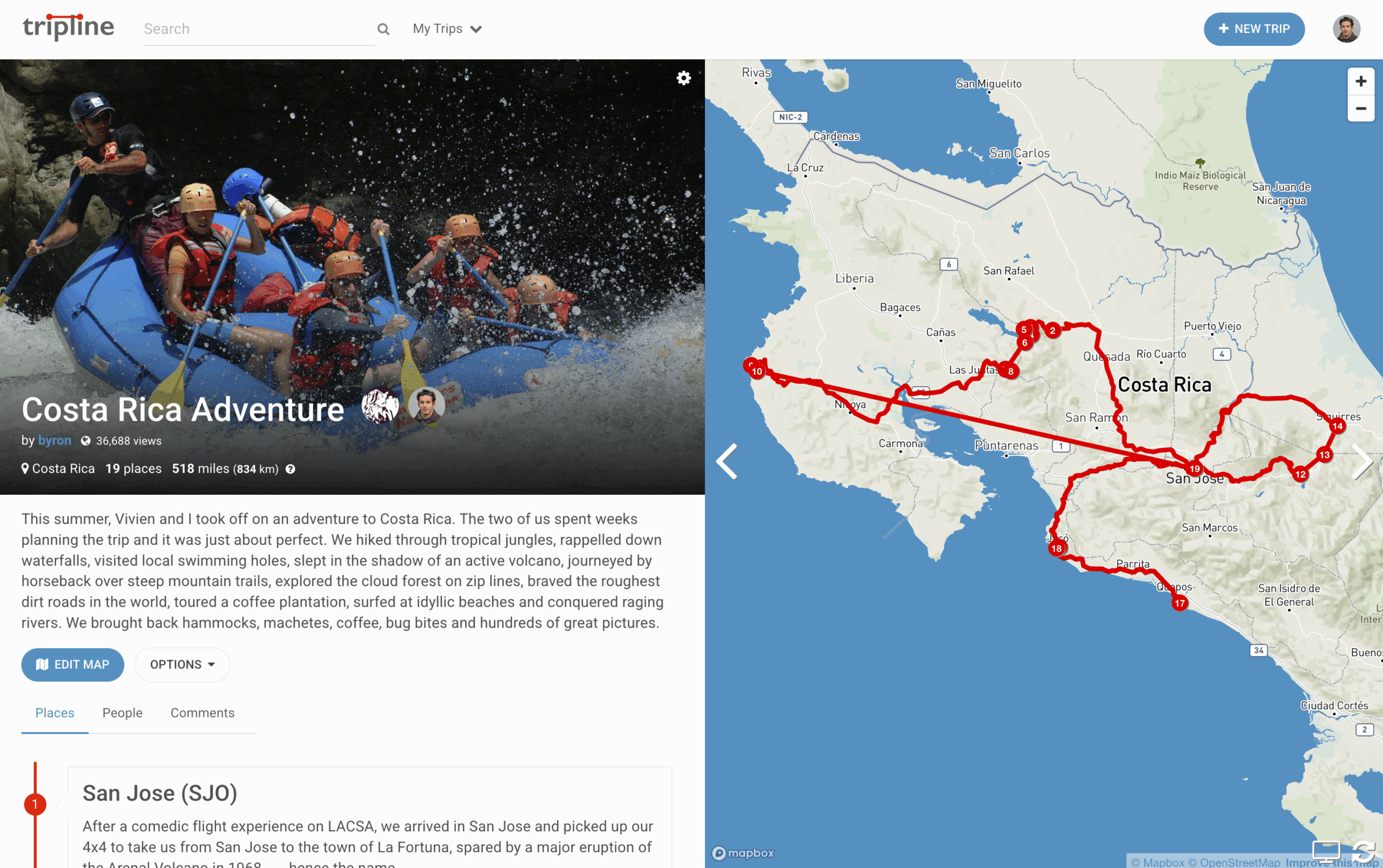
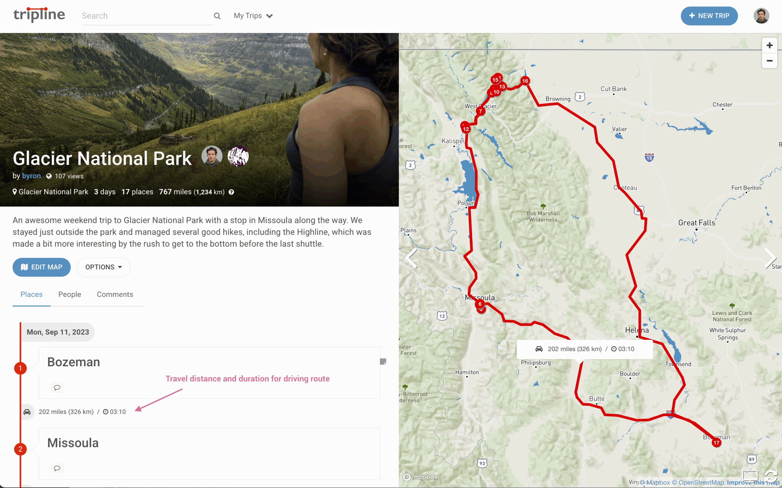
I first launched Tripline in 2010, just over 15 years ago. Since then, more than 1.6 million people have signed up and created more than 1 million trips, criss-crossing the globe with their stories. Every day still, many thousands of people are using Tripline from all over the world and it’s inspiring to see. I’ve been committed to the vision wholeheartedly from the beginning and have continually made improvements over time, including a major release of new features in April 2025.
I’ve also paid for everything myself. Things like AWS hosting infrastructure, CDN services, mapping platforms and more. To-date I’ve invested a substantial amount of my own money along with countless hours of time, all because I believe in the product and I want to keep it growing. The ads I run on Tripline and your Patreon contributions have helped offset a portion of operating costs, but they’re not nearly enough to fund product development. So my goal with the launch of subscriptions is to generate enough revenue so I can re-invest it in enhancing the product for the future. There’s still a lot to be done.
I’m telling you this so you understand that Tripline isn’t a venture-backed company with a big team and money to burn. It’s just me, the creator, looking for a good way to fund the continued development of the product. That’s my only goal, and I believe a subscription model is the best way to do it. I hope you come along with me.
How subscriptions work
There are three tiers:
- Tourist: A free tier with limited capabilities that will allow people to check out the product, create private trips etc.
- Pro: A paid tier (not very expensive) that enables most Tripline features, including the ability to add fellow travelers. Notably, the people you add don’t need to be pro users. This means only one person in a group needs to have a Pro subscription to take advantage of Pro-level features for a trip.
- Guide: A paid tier designed for travel businesses. It’s a bit more expensive, but it opens up SEO benefits, the ability to embed maps on external sites without ads, and removes Tripline branding on your embeds.
You’ll need to choose your tier before you create anything new, and if you choose the free option, many of the features you’re used to seeing will be unavailable. I’m not going to do anything dramatic like delete all your trips if you don’t subscribe, so you’ll have time to choose without too much pressure.
You can click below to activate your subscription:
Access for educators
Many educators around the world are using Tripline with their students for class projects. I strongly believe that this makes the world a better place and I’m committed to supporting that. So, I’ve developed a process to grant educators special access to Tripline at no cost. You can read more about that here.
Patreon supporters
If you were supporting Tripline on Patreon (thank you), I’ve canceled all future contributions, but I’ll keep your special user status in place until you’ve had a chance to make your subscription choice. That means everything will stay as it is now, and I’ll email you directly before I make any changes that would impact you. I’d still recommend subscribing as soon as possible to avoid any issues.
What comes next?
If you’re active on Tripline, you’ll see the changes right away on both the website and in the mobile apps. Along with the upcoming Subscriptions release, I’m also including a few feature updates from the backlog:
- Improvements to place search
- Sub-places (indented waypoints)
- Ability to edit waypoint info in the editor
- Enhancements to map styles
- Better photo experience in the mobile apps
And then the fun part. Assuming I see good subscription numbers, I’m going to start working on some more impactful updates, including an investment in rebuilding our mobile apps from the ground up. Right now my short-list looks like this:
- Completely rebuilt mobile apps with an exciting new set of features
- Better support for trips with 100+ places
- Better visualization for dates (calendar view etc.)
- Additional map customization options
- Improvements to map animation
- KML/GPX track imports
- Internationalization
- Conversion-focused enhancements for travel businesses
As part of this longer term plan, it’s likely that I’ll be making some fundamental changes to the underlying architecture (modernizing infrastructure etc.), and I’ll be bringing on additional engineers. That’s really where the costs come in, and why I need to make this change now. It’s all about the future of the product.
If you want to get in touch or have any questions, please send an email to support@tripline.net (I’m the one looking at that inbox) and let me know your thoughts.
Here’s to the future,
– Byron@Tripline